Walking
- Walking guides and maps:
- Partners for Our Healthy City Walk-It Guide
- Douglas County Health Department Walking Concierge Guide (Downtown)
- Google Maps for Walking
- Walk Score® for some areas of Omaha are listed here.
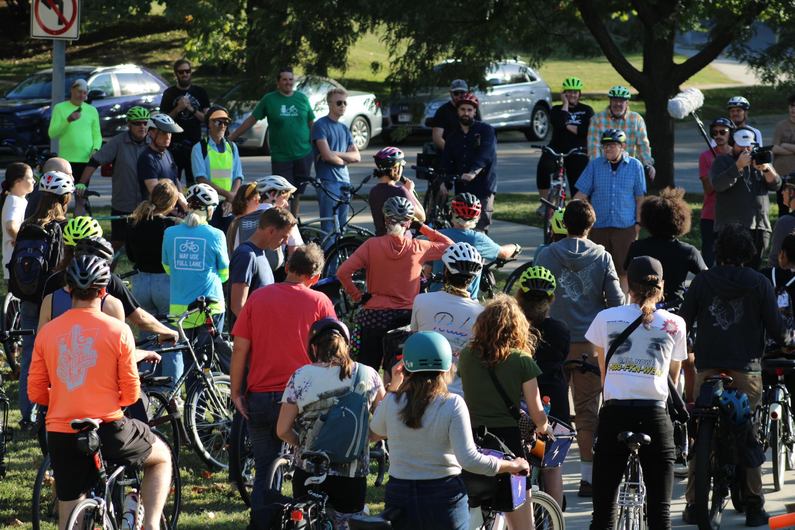
Bicycling
- The Omaha Metropolitan Area Bicycle Map, 2017 Edition provides guidance for on-street routes. The link shows both pages of the entire, high resolution map. This is a very large 26 MB file. Please download only if you need the full resolution version. Professionally printed maps are available at local bicycle shops.

- Heartland Bike Share is a great way to try out an electric bike and get around Omaha’s hills quickly and for a relatively low cost. Use their BCycle app (iPhone or Android) to easily buy a pass or a membership and unlock an e-bike and go for a ride!
- Use the Omaha Trails Map for your rides around Omaha’s trails. See also the Council Bluffs trail map.
- Map of bike infrastructure essentials in Omaha such as fixit stations, racks, b-cycle stations.
- Google maps for bicycling.
- Find bike friendly destinations in the Omaha area.
- Bike scores for some areas of Omaha are listed here.
- City of Omaha Biking page. (Request bike rack installation here).
- For updates on trail closures go here and for street closures go here.
- Use this Bike Parking Guide to help choose appropriate bike racks and placement.
- The City of Omaha has a limited number of “U” style bicycle racks to offer existing businesses and organizations. The City will deliver and install the racks free-of-charge if placed in the public right-of-way. Contact Kevin Carder.
- A beginner’s guide to healthy cycling can be found here.
Transit
- Visit the Metro website to for information about the Omaha bus system, map, schedules, and more.
- Google Maps for Transit
- View this video, available in multiple languages, on how to take the bus, or this video on how to use the bike racks.
- See the latest plans for Bus Rapid Transit along Dodge Street.
Ride/Car Share
- Omaha – Council Bluffs Ridesharing Website and App
- Zipcar
Transportation-Related Orgs & Projects
- Public Works Projects
- Spark CDI’s North Omaha Trail Project
- Here is a list of Active & Public Transportation-Related Organizations in the Omaha Area.
- Omaha Mayor’s Active Living Advisory Committee meeting agendas and notes
- Bike Walk Nebraska
Assessments & Scorecards
- Douglas County Health Department Health Impact Assessments
- Advocacy Advance’s Statewide Transportation Improvement Program (STIP) Nebraska Scorecard
Data
- Nebraska Bicycle/Pedestrian Crash Data
- Pedestrian and Bicycle Crashes in Omaha Data
- Omaha Bicycle/Pedestrian Counts Reports for 2011 & 2014
- Check out transportation data on the Omaha Community Foundation’s The Landscape
- Farnam Street, 46th Street to Happy Hollow Boulevard, Reversible One‐Way Operation Review