The new Askarben Transit Center is a recent realignment by Metro to get bus routes and transit centers closer to nodes of activity. Previously, this “transit center” was nothing more than two paired stops outside the Bergan Mercy hospital at 75th and Mercy Road. While the hospital is a major employment center, there really isn’t much else around of interest to a transit user who doesn’t work in the area. To the east, along Mercy Road, we have the growing Aksarben neighborhood — a burgeoning development of residential opportunities, commercial offices, entertainment, shopping and dining. The area has high density, diverse activity and is better served by a transit center that brings together five bus lines.
Currently the new transit center is, again, two paired stops across the street from one another on Mercy Road just west of 68th Street. This location, just west of Aksarben Village is withing easy walking distance of the development, but not positioned so that it would be affected by the many markets, events and concerts throughout the year when the community closes Mercy Road for pedestrians and exhibitors.
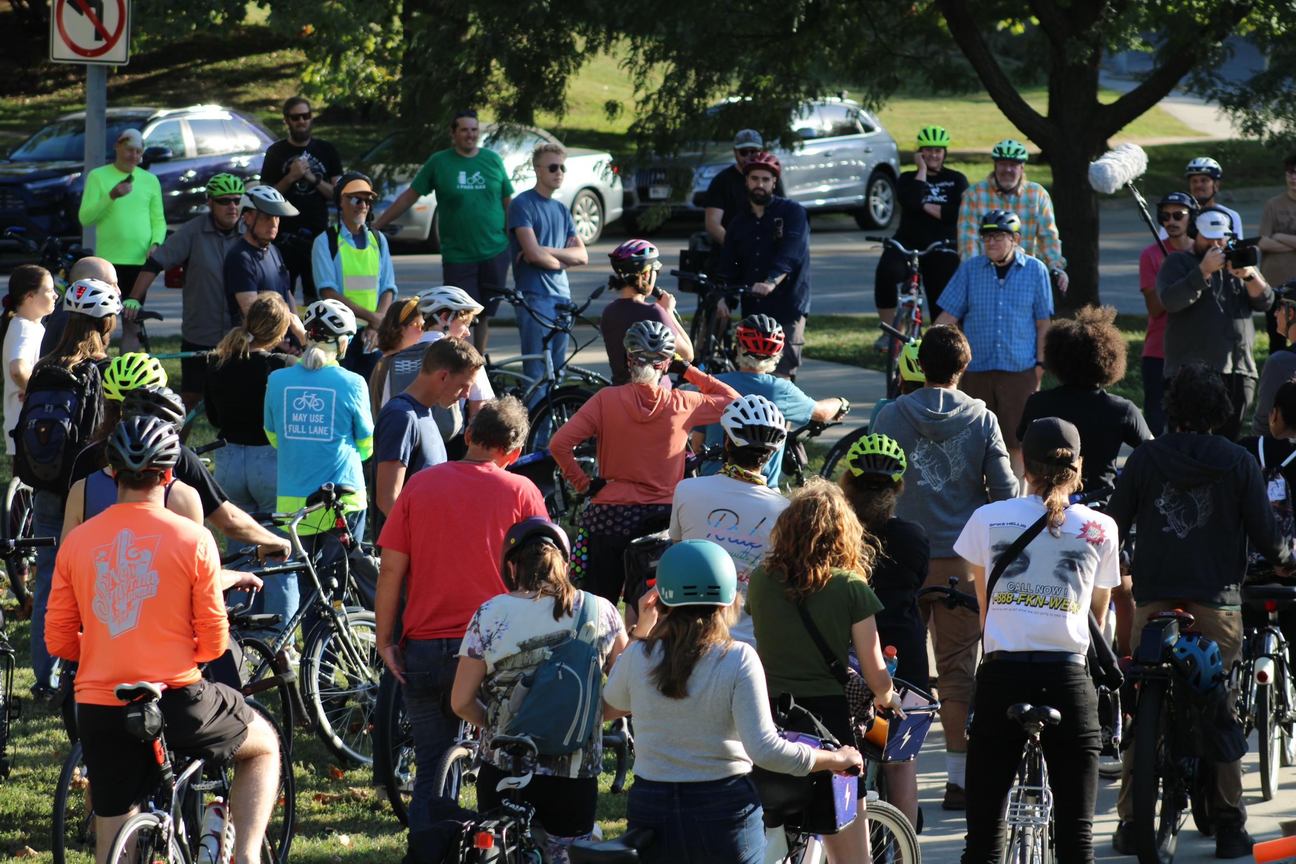
Mode Shift member, Cindy Tefft sent along the following observations and images.
North side services Metro Routes 11, 13, 15, 18, and 55. South Side services Route 15.

Coming from 67th St., walking west toward the transit center, I saw the following conditions in the few minutes I was there. Cars coming down the hill go extremely fast heading east. Buses ares stopped in the furthest right hand lane of traffic, narrowing the road at times to 2 lanes. This will be very interesting in the summer during events. Would be good to see what it looks like during a.m and p.m. rush hours.

In order to get to the South Transit Center you have to cross 4 lanes of traffic. One transit user says it isn’t too difficult but you have to time it just right. Since HDR opened their new headquarters, traffic has increased. The Keystone trail going under the Mercy Rd Bridge is closed, trail users have to cross Mercy Rd with no crossing signal or crosswalk. There are curb cutouts, 2 on each side of Mercy Rd. One at the corner of 68th south side and one on the north-side mid-block, the other where the trail crosses and is not at a corner. If you are walking east on the south side of Mercy Rd, you must cross the street in order to go over the bridge on a sidewalk to prevent walking in the street with the flow of traffic.
My take away is that this is an extremely dangerous situation for transit users, pedestrians, bicyclists and even motor vehicles.
Pictures: 11:50 a.m. Tues 2/5/2019 – Cindy Teftt
Current Conditions, Suggested Improvements
While Metro made an effort to avoid having pedestrians cross a busy street (all but one route connect at the north-side bus shelter) there are still users who will need to cross Mercy Rd. to make a connection to the east-bound 15, or catch one of the routes that begin heading west on Mercy. This creates a hazardous environment for people walking.

Click for Larger Image
As we move west on Mercy across Aksarben Drive, Mercy expands from three lanes to four. This creates a particularly dangerous situation for pedestrians, especially without any dedicated, on street walking infrastructure. In a four lane pedestrian crossing, the behavior of a person driving in one lane does not necessarily influence the drivers in the adjacent lanes.
For the safest environment, the roadway around the transit center would be narrowed to three lanes with one vehicle lane in each direction and a center lane that would act as a refuge for pedestrians crossing traffic in stages. The refuge lane (because there are no potential left turns in this stretch of roadway) could also have bollards warning drivers of pedestrian activity. The north/south crossing at the curb cuts should be marked with a cross walk and set-back stop bars. making clear that vehicles should give plenty of room for pedestrians to cross.
In an ideal world, a HAWK signal (High-intensity Activated crossWalK) would be installed to allow pedestrians to activate a right-of-way to cross to their connecting buses, even in high-vehicle-traffic periods. All of these improvements would be at the discretion of the city’s Planning and Public Works departments. We hope they will prioritize the comfort and safety of the most vulnerable of transportation system users over the speed and convenience of people driving cars.
We know that often infrastructure precedes demand. We trust the city to see the value in providing safe, inviting infrastructure for people walking and using mobility devices will encourage more people to use active transportation as their means of getting around our great city. If you would like to see changes at this intersection, or if you encounter other issues that affect the safety and comfort of people trying to use active transportation, please contact the Mayor’s Hotline (402) 444-5555.
Great Article it its really informative and innovative keep us posted with new updates. its was really valuable. thanks a lot.
Thank you for bringing this dangerous area to our attention. Visually impaired pedestrians will have an especially hard time crossing without any audible signals or clear curb markers noting where to cross.